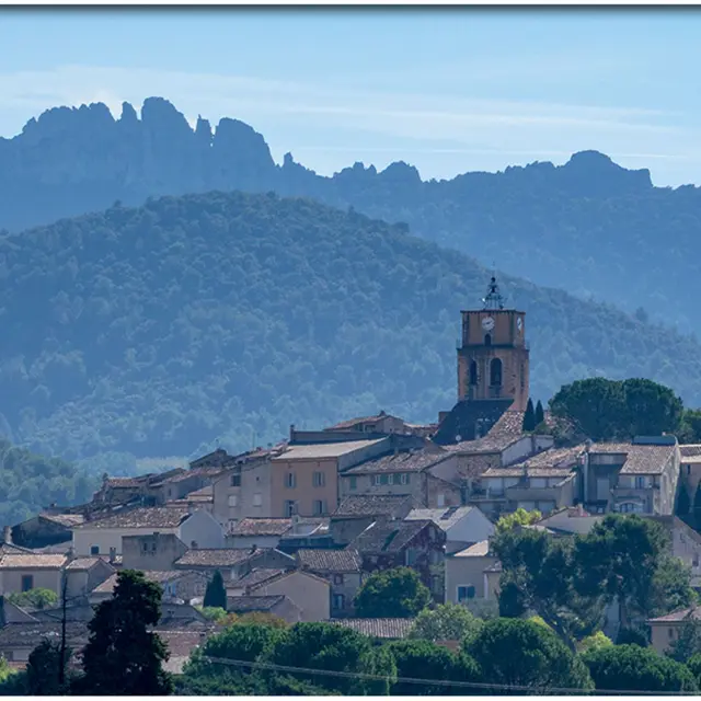
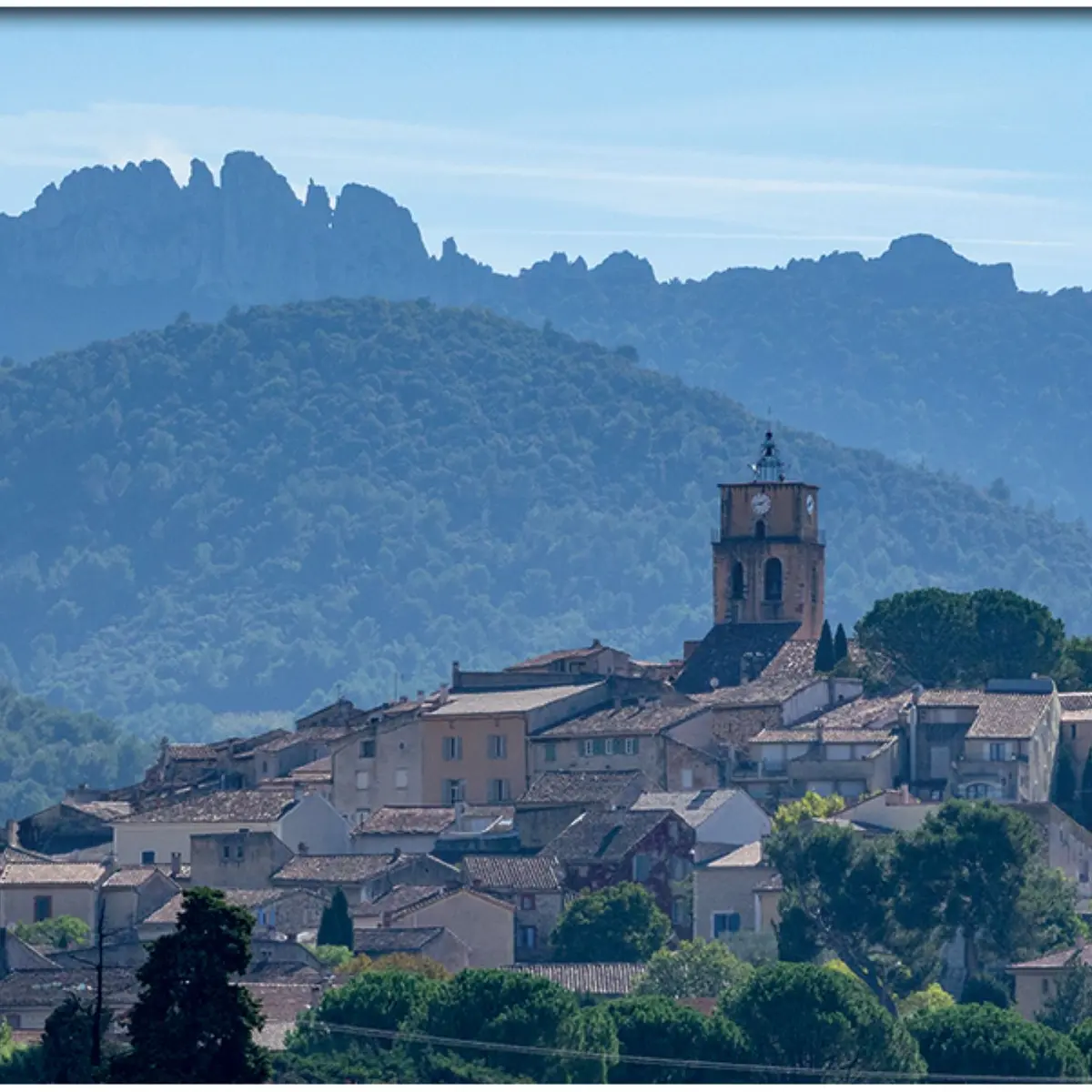
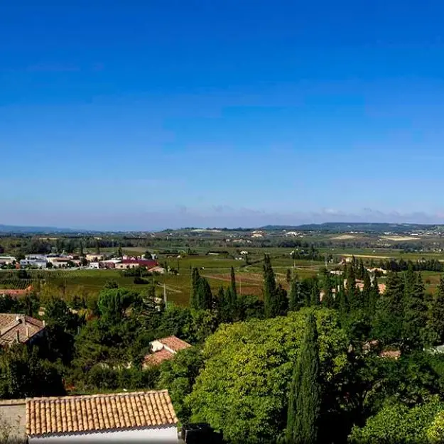
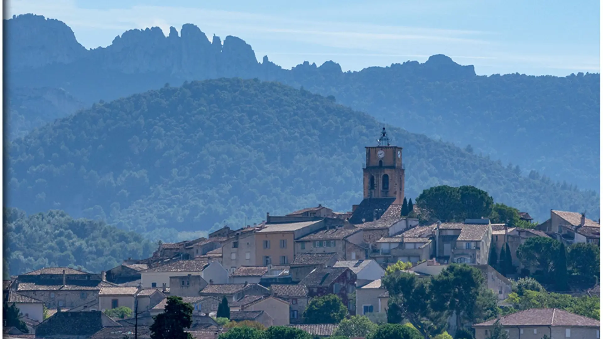
This hike will introduce you to the magnificent terroir of Sablet. Enjoy superb views of the Dentelles Sarrasines, the Saint-Amand ridge, the Pas de l'Aigle and the Rhône valley.
A route with almost no technical difficulties, as the circuit is on small, lightly-travelled roads, except for a small section which is a path with a ford.
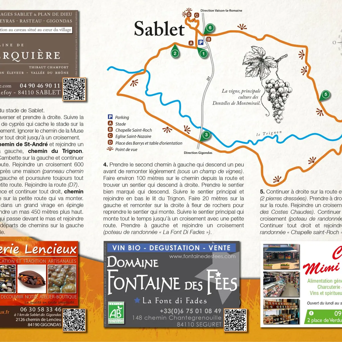
To be seen on the way to and around the Sablet hike, in the Dentelles de Montmirail :
> The heritage and terroir of the village of Sablet
> Place des Barrys and its orientation table
> Saint-Roch chapel
> Saint-Nazaire church
>The Saint-Amand ridge
Loop trail / Distance: 8.7 km / Level: medium / Difference in altitude: + 189 m / Réf carte ©IGN : 3040ET.
The hiking map is available free of charge from the Vaison Ventoux Provence Tourist Office.
Also on the terrarando.com website: tips for hiking in the Vaucluse and all the practical information from Terra Rando's partners. Happy hiking and discovering...
Read more