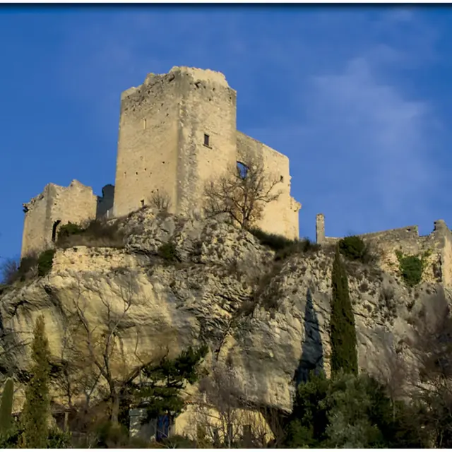
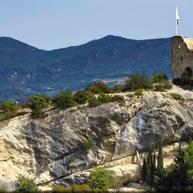
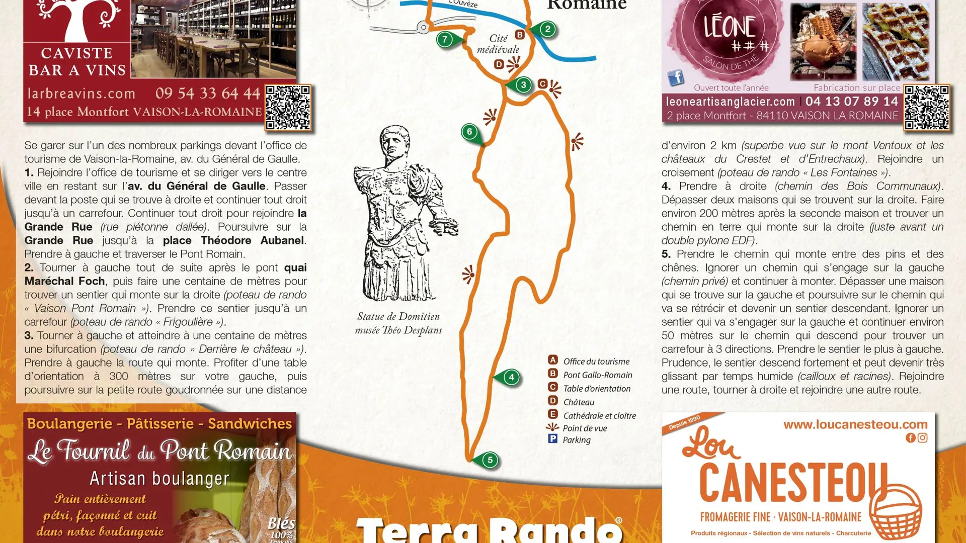
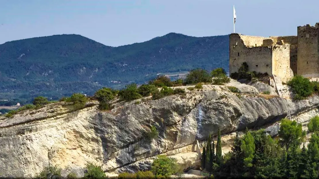
You'll discover a vast landscape overlooking the Toulourenc valley, Mont Ventoux and the Baronnies regional nature park. In the distance, you can admire the Entrechaux and Crestet castles.
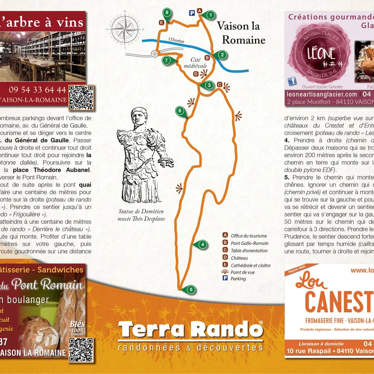
Distance: 7.2 km / Level: easy / Difference in altitude: 162 m / Réf carte ©IGN : 3040ET.
To see along the way and around the hike:
> La Haute Ville, medieval town of Vaison la Romaine
> The Roman bridge (1st century)
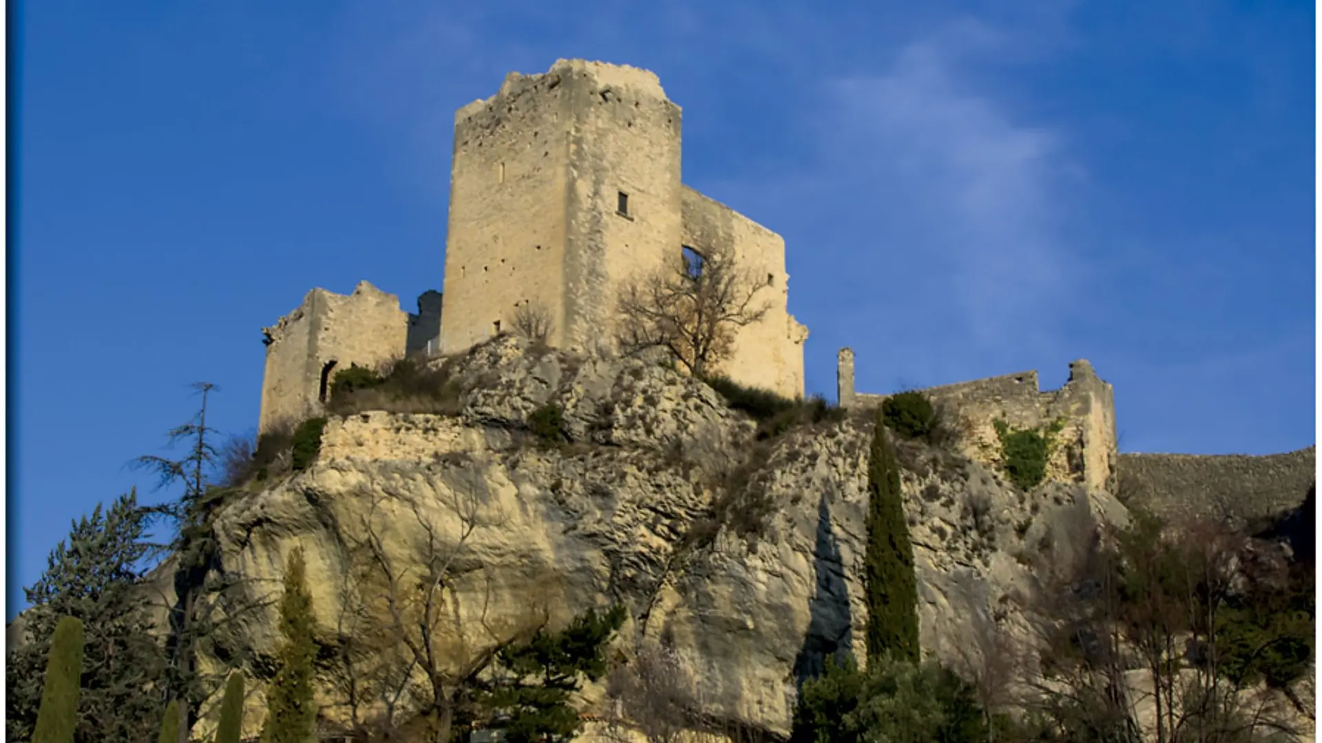
> The feudal castle (12th century)
> Roman remains and archaeological museum
> Notre-Dame de Nazareth cathedral and cloister
> An orientation table
The hiking map is available free of charge from the Vaison Ventoux Provence Tourist Office.
Also on the terrarando.com website: tips for hiking in the Vaucluse and practical information from Terra Rando's partners. Happy hiking and discovering...